Last Mile Delivery Route Optimisation in New Zealand: Key Terms for Auckland, Rural and Winter Runs
Drafted with AI assistance, edited and fact-checked by Sean Flannery. See our editorial policy.
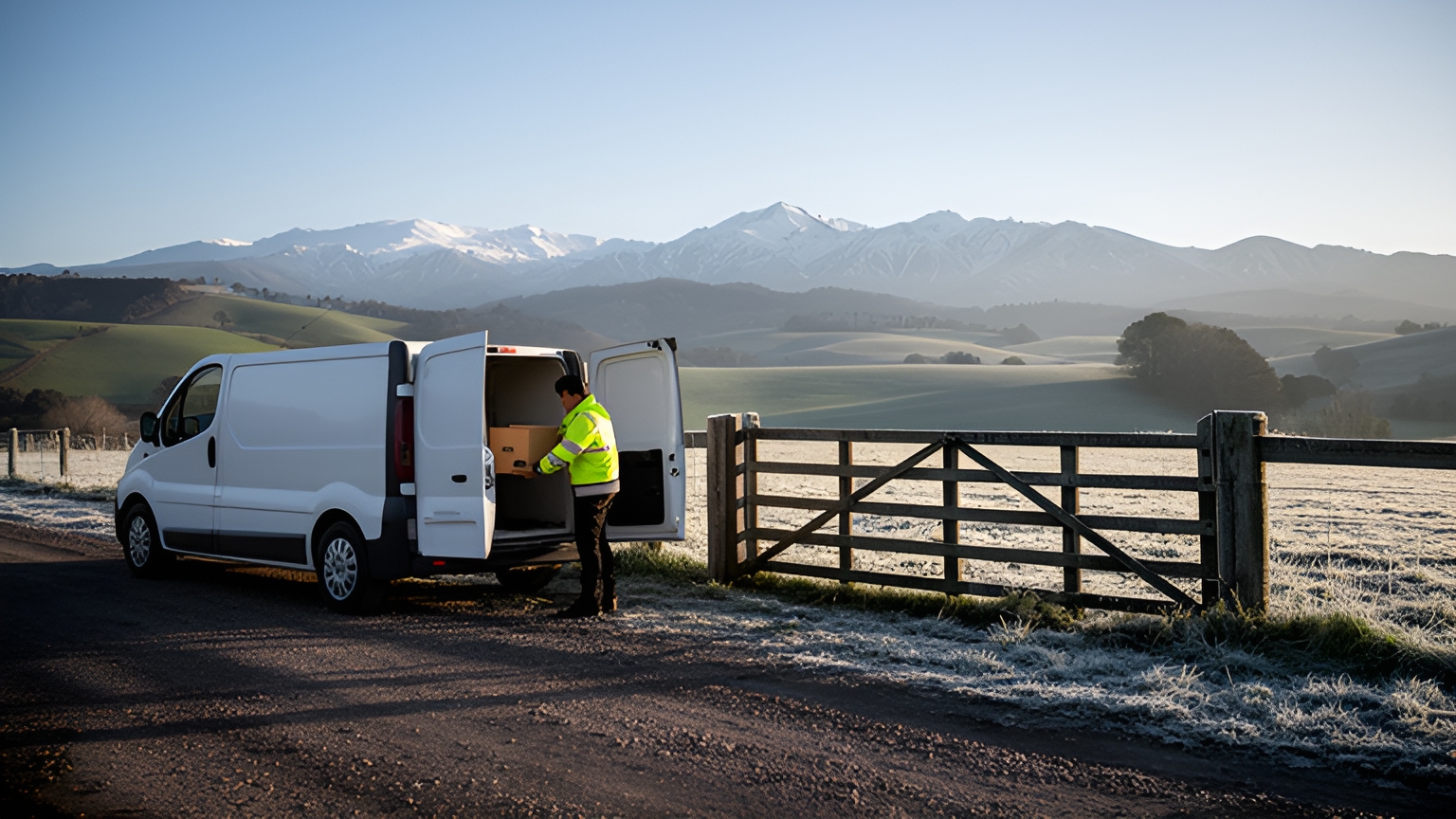
Last mile delivery route optimisation is the planning of the final leg from depot to door. It puts stops in the best order while allowing for time windows, unloading time, vehicle capacity and road conditions. In New Zealand that means sequencing around Auckland's harbours, geocoding rural addresses accurately and replanning when winter weather disrupts inland highways.
Good planning saves time every day. SuperPharmacy, an online pharmacy in Australia, now plans its daily routes in 10 minutes instead of up to one hour with Locate2u. The full story is in the last section of this guide.
What last-mile route optimisation means on New Zealand roads
Te Manatū Waka Ministry of Transport described the final leg in its consultation document, the Freight and Supply Chain Issues Paper: "Freight operators see the last mile deliveries of goods to retailers and homes as highly complex and increasingly challenging."
Optimisation software handles that complexity by deciding the order of stops, the timing and the vehicle for each load together, weighing where each stop is, how long the driver spends there, when the customer can receive the goods and what fits in the van.
On New Zealand roads, each of those decisions has local weight. Two Auckland addresses that look close on a map can sit on opposite sides of a harbour. A farm delivery can sit at the end of a long gravel driveway. A winter front can change which inland highway is open on the morning of dispatch.
Good last mile delivery route optimisation treats each of these as a planning input from the start. For the wider picture of how the final leg fits into a delivery operation, see this guide to last-mile delivery basics and beyond.
| Term | What it means | Why it matters in New Zealand |
|---|---|---|
| Route optimisation | Planning the order, timing and vehicle for every stop so each run is efficient and realistic | Weighs harbour crossings, rural access and winter roads alongside distance |
| Stop sequencing | The order in which a driver visits each stop on a run | Decides when a run crosses a harbour or heads up a rural valley |
| Clustering | Grouping nearby stops first, then setting the order within each group | Keeps a run on one side of an Auckland harbour before it crosses |
| Service time | Time spent at a stop on parking, unloading and handover | Differs between a city apartment block and a farm gate |
| Kerbside access | Where a vehicle can safely stop close to the address | Shapes how long busy urban stops really take |
| Vehicle capacity | The load each van or truck can carry on one run | Sets how many stops fit before a return to the depot |
| Geocoding | Turning a written address into a map pin | Rural pins need to land at the right gate, not the road frontage |
| Time window | The period a customer has agreed to receive a delivery | Gives customers a clear slot to plan their day around |
| Live ETA | An arrival estimate that updates as the run progresses | Keeps customers informed when traffic or weather shifts the day |
| Contingency replanning | Resequencing, holding or rebooking stops when conditions change | Keeps winter runs organised when an inland highway closes |
| Fixed timed event | A point in the day with a set time, such as a scheduled ferry | Anchors inter-island runs to the crossing timetable |
How stop sequencing, service time and kerbside access build a realistic run
The shortest drive is not always the quickest run. A route can look tidy on a map and still finish late once the real time spent at each stop is added.
Stop sequencing is the core job. It sets the order of visits so that neighbouring stops are grouped, each customer's window is respected and the driver keeps moving in a sensible direction.
Service time is the time spent at the stop itself: parking, walking to the door, unloading and capturing a signature or photo. A delivery to an apartment building with a lift and a concierge desk takes longer than a drop at a suburban shop with its own parking.
Set a typical service time for each customer type, such as residential, retail, trade site and rural. The optimiser then plans with realistic stop times instead of assuming every stop takes the same.
Kerbside access is where the vehicle can actually stop. An address with no nearby place to pull over takes longer than its distance suggests.
Add access notes to each customer record, such as a loading dock, a rear lane or a side street. The plan then reflects the stopping point the driver will use, and the driver arrives knowing where to go.
Vehicle capacity comes next. Enter the real load limit for each vehicle type, so a run built for a van never assumes truck-sized space.
Then load to match the sequence. The first drop goes in last, nearest the door, and the driver never has to dig for an order.
Driver shift start, finish and break times belong in the plan too. When they are built in from the start, drivers get a run that fits their working day. Check current work-time requirements with NZ Transport Agency Waka Kotahi.
Locate2u's route optimisation builds routes around delivery locations, time windows and driver availability. These inputs turn straight into a run drivers can follow.
How Auckland's harbours and spread-out centres shape urban sequencing
Auckland's shape puts sequencing decisions front and centre. The city wraps around the Waitematā and Manukau harbours, and its activity is spread across centres such as Albany, Takapuna, Henderson and Manukau, not gathered around one core.
On a delivery run, that makes harbour crossings the big decision points of the day.
Picture a van leaving a south Auckland depot with stops on the North Shore, in the west and across the isthmus. The order with the fewest kilometres on paper might cross the harbour twice. A better order clears one side completely, crosses once, then works through the rest.
Start by clustering stops by side of the harbour and by centre. Then sequence within each cluster. That two-step approach keeps a run from zigzagging between centres that look close but are separated by water.
Treat each crossing as a planned part of the run, timed for the part of the day your own completed runs show it flows best. Time of day matters as much as distance. Keep the stops with tight windows for the quieter periods and put flexible stops into the busiest stretch.
Where volume allows, give each van a home area. Drivers then build local knowledge of parking, building access and loading docks, and that knowledge shows up as steadier stop times.
Review a week of completed runs now and then. Where actual times drift from the plan, adjust the service times or move a cluster boundary.
Better sequencing is one part of a bigger picture. A January 2020 white paper, The Future of the Last-Mile Ecosystem, found that with ecosystem-wide change, interventions could reduce emissions and traffic congestion by 30%, and delivery cost by 25%, compared to the do-nothing scenario.
Those figures come from many changes working together across a city, not from routing alone. But stop order is the part a dispatch team controls every morning, so fewer harbour crossings and tighter clusters are a sensible place to start.
How accurate geocoding keeps rural and unsealed-road runs on track
An optimiser is only as accurate as the pins it plans to. In town, an address usually lands close to the door. On rural runs, a written address can land on the road frontage, a neighbouring property or the middle of a large block.
Geocoding turns a written address into a map pin. On a rural run, that pin needs to sit at the right gate or shed, because the sequence, the drive time and the ETA all depend on it.
Unsealed roads add another layer. Gravel stretches, farm tracks and long driveways take longer to drive than the same distance on a sealed road, and the plan should allow for that.
A short routine keeps rural pins reliable:
- Confirm a delivery pin for every regular rural customer, placed at the entrance drivers actually use.
- Add access notes to the customer record: which gate, which shed, where to leave goods.
- Save what drivers learn on the road. A driver who finds the best entrance on a first visit has created knowledge the whole team can reuse once it is in the record.
- Add extra time for stops reached by long unsealed driveways.
- Check pins for new customers when the order is entered, not on the day of delivery.
With accurate pins, the optimiser can group stops along the same valley road and give each property a realistic arrival time.
How time windows and live ETAs give customers a clear delivery slot
A time window is the period a customer has agreed to receive a delivery. It turns an open-ended delivery day into a slot the customer can plan around, and it gives the optimiser a firm constraint to work with.
Narrow windows suit perishables, prescriptions and anything that needs someone at home. Wider windows give the optimiser more freedom and usually produce tighter runs. Offering both lets customers choose and keeps the plan efficient.
Some customers will also want their goods the same day. Interest in that differs from one trade and region to the next, so test demand with your own customers. Offer a same-day slot in one service area and watch how many customers choose it.
A same-day slot works when the plan can take late orders. That means leaving some spare capacity on runs, and giving the dispatch team a way to add stops mid-morning without rebuilding the day.
Live ETAs complete the picture. An arrival time that updates as the driver works through the run gives the customer a clear, current estimate instead of a fixed window alone.
With Locate2u's real-time tracking, a dispatch team can see every vehicle on a live map and share a live tracking link with each customer. Customers can see when their delivery is on its way and be ready when it arrives.
Live ETAs are especially useful on long rural runs, where a customer's arrival time depends on every stop before theirs.
How contingency replanning keeps winter and inland runs organised
Winter brings a known variable to inland runs. In its winter traffic bulletin, NZ Transport Agency Waka Kotahi said: "People are encouraged to plan their travel carefully, especially on inland state highways, and to be prepared for closures or disruptions."
The same bulletin reported snow closing SH8 between Fairlie and Lake Pukaki and flooding closing SH1 north of Oamaru.
When a highway closes, a clever detour is not always the answer. Contingency replanning means deciding, stop by stop, whether to run as planned, resequence around the closure, or hold the stop and rebook it.
A simple winter routine keeps the decision quick. On winter mornings, check road status before dispatch. Sort the day's stops into those the closure affects and those it does not.
Run the unaffected clusters as planned. Resequence stops that can still be reached another way, as long as their windows still fit. Hold the rest, rebook them with customers early and send updated ETAs so nobody waits for a delivery that has moved.
Two-island operations add a fixed timed event. Plan each island's runs separately and treat the Cook Strait crossing as a timed point in the day, so the scheduled ferry arrival becomes the earliest start for stops on the far side. If a sailing time changes, every stop after it moves with it.
With Locate2u's dispatch planning, a team can adjust the day's routes as conditions change and slot stops into existing runs instead of starting again. Drivers head out with a plan that matches the roads they will actually drive.
How a pharmacy delivery team cut daily route planning to minutes
SuperPharmacy has been operating as an online pharmacy in Australia since 2000. It delivers prescription medications, over-the-counter products and health essentials to customers nationwide.
As demand for faster delivery grew, the delivery team was spending up to one hour every day planning prescription routes by hand. When an urgent prescription arrived during the day, or a delivery needed rescheduling, the route had to be generated again from scratch.
Customers increasingly expected same-day delivery for their prescriptions. The team needed planning that could keep up with that demand.
SuperPharmacy brought in Locate2u's route optimisation to automate its daily planning. Routes are now generated automatically from delivery locations, time windows and driver availability.
SuperPharmacy's case study reports that what once took an hour of manual work now takes just 10 minutes, cutting route planning time by 83% for this Australian pharmacy.
The flexibility mattered just as much. New prescriptions can be slotted into existing routes on the fly without disrupting other deliveries, and that is what let SuperPharmacy offer same-day prescription delivery as a core service.
In SuperPharmacy's own words: "Before Locate2u, we had to generate new routes if we wanted to change anything. Now we can adjust the day's deliveries on the fly."
A New Zealand pharmacy, florist or food business taking late orders faces the same planning question: can a new stop join a live run without unsettling the rest? To find out, take your busiest recent day, add a mid-morning order to an existing run and see how the plan adjusts.
Frequently asked questions
Do you need separate route plans for North Island and South Island deliveries?
Yes. Plan each island's depot-to-door runs separately and treat any inter-island crossing as a fixed, timed event, so the scheduled ferry arrival becomes the earliest start time for stops on the far side.
What data should you tidy up before switching on route optimisation?
Start with confirmed delivery pins for regular customers, a typical unloading time for each customer type, the load each vehicle can carry, and each driver's shift start, finish and break times. Clean inputs let the optimiser produce a plan drivers can follow from day one.
Is route optimisation worth it for a fleet of two or three vans?
The planning problem grows with stops and constraints, not vehicle numbers, so a small team with time windows, rural stops and late orders faces the same sequencing decisions as a larger one. A quick test is to optimise one of your busiest days and compare the result with the run that was built by hand.
How should you test a route optimisation platform on your own routes?
Load a real day's orders, including a rural address, a tight time window and an order added mid-morning, then check how the plan handles each one. To see this on your own runs, book a call with the Locate2u team.
Get the inputs right first: confirmed pins, realistic service times, vehicle loads and driver shifts. Then let the optimiser set the stop order, and keep a winter replanning routine ready for inland runs. To see how this works on New Zealand runs, explore Locate2u's route optimisation for multi-drop delivery.
